Roseberry Topping | Newton-under-Roseberry, TS9 6QR
|
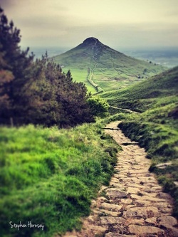
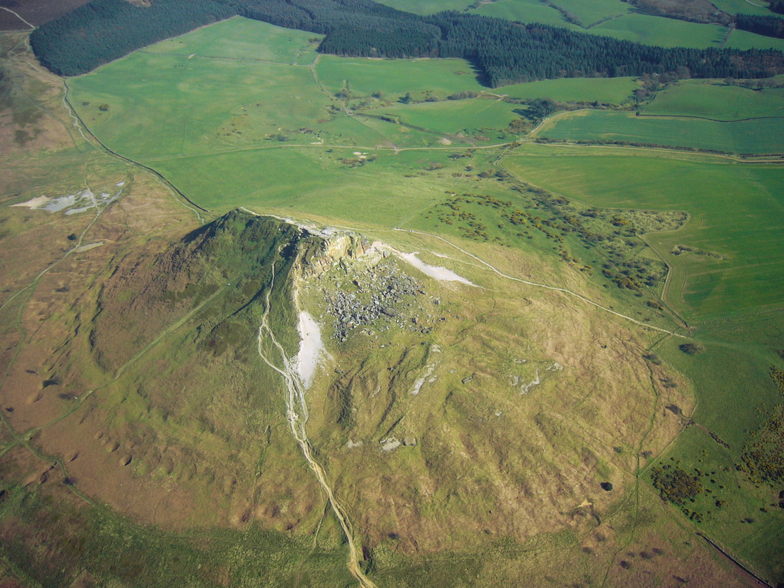
Distinctive and iconic landmark with fine views across North Yorkshire and County Durham At just 1,049 feet (320 m) high, Roseberry Topping may not be the biggest hill you'll ever see, but it will certainly be one of the most distinctive. Its shape, caused by the combination of a geological fault and a mining collapse in 1912 has made the hill the most beloved landmark in the Tees Valley area. With its half-cone summit and jagged cliff, some say it reminds them of the Matterhorn in Switzerland. While many visitors come to conquer the hill, there's plenty more to do besides with a fantastic array of habitats to discover. Explore bluebell woods, heather moorland, the open expanses of Roseberry Common and a long abandoned quarry.
Roseberry Topping is now managed by the National Trust and is open to the public. It is just within the North York Moors National Park whose border runs along the A173 road below it. A spur of the Cleveland Way National Trail runs up to the summit. The path has been a popular sight-seeing excursion for centuries due to the spectacular views of the Cleveland area from the summit; as early as 1700, travellers were recommended to visit the peak to see "the most delightful prospect upon the valleys below to the hills above."
The site was notified as a geological Site of Special Scientific Interest in 1954, with a boundary extension in 1986 bringing the designated area to 10.86 hectares. The site is listed as being of national importance in the Geological Conservation Review. |
Recommended for You
|


